Tour data
4km
250
- 616m
316hm
01:30h
- Brief description
-
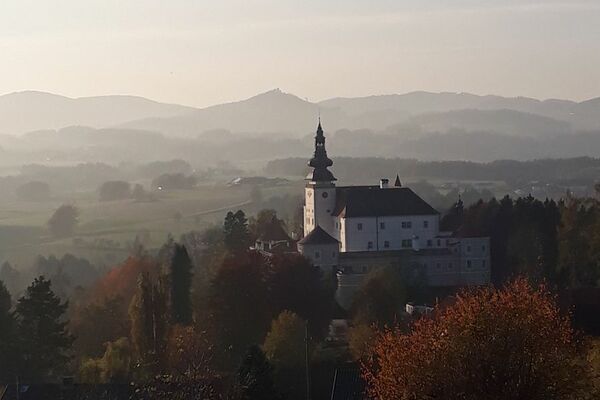
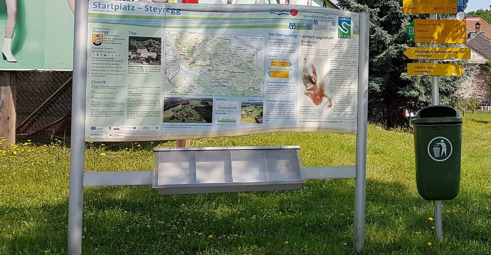
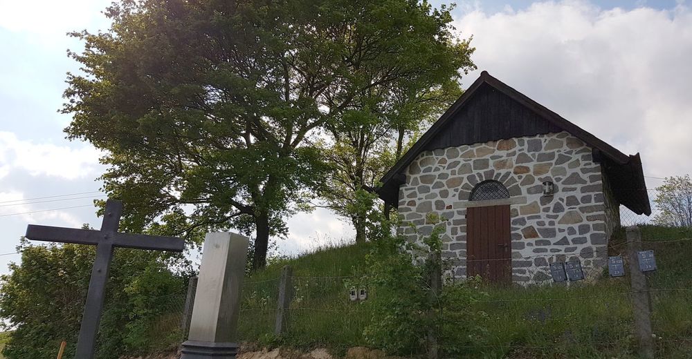
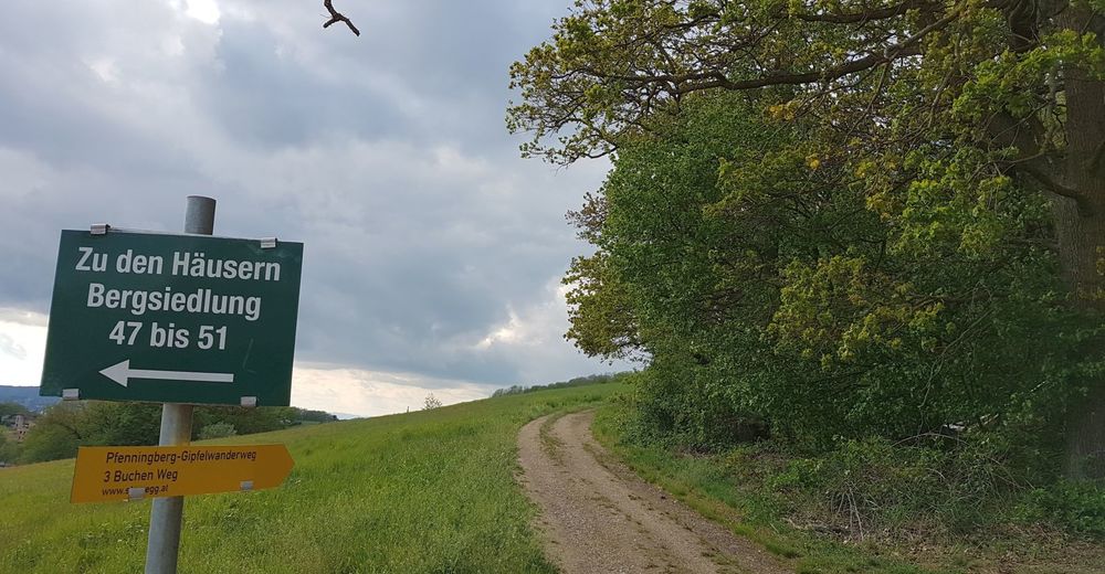
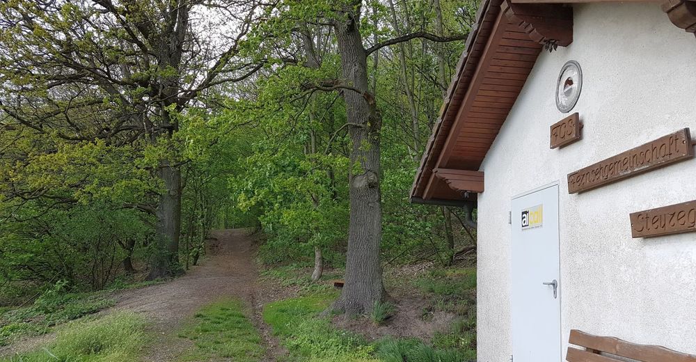
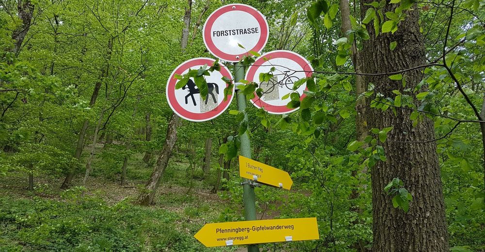
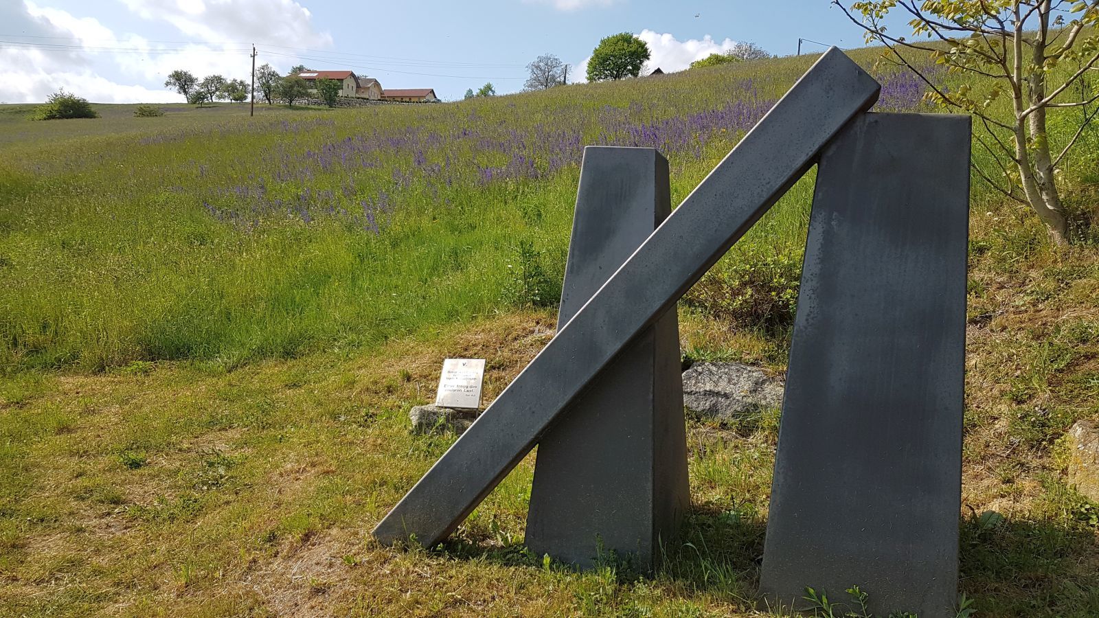
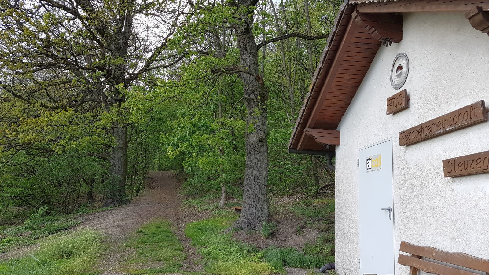
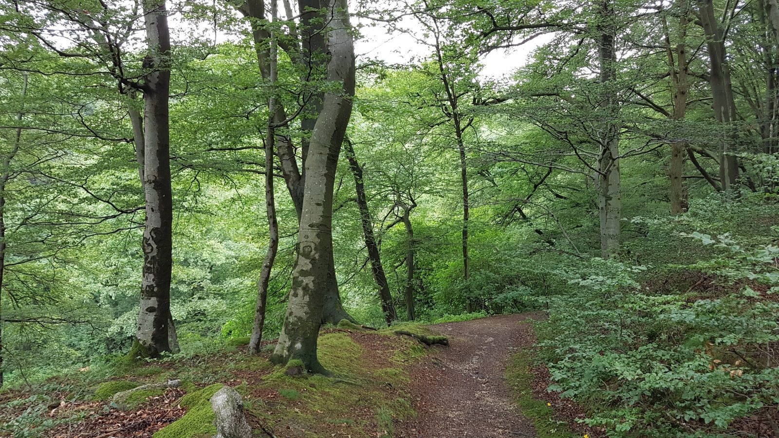
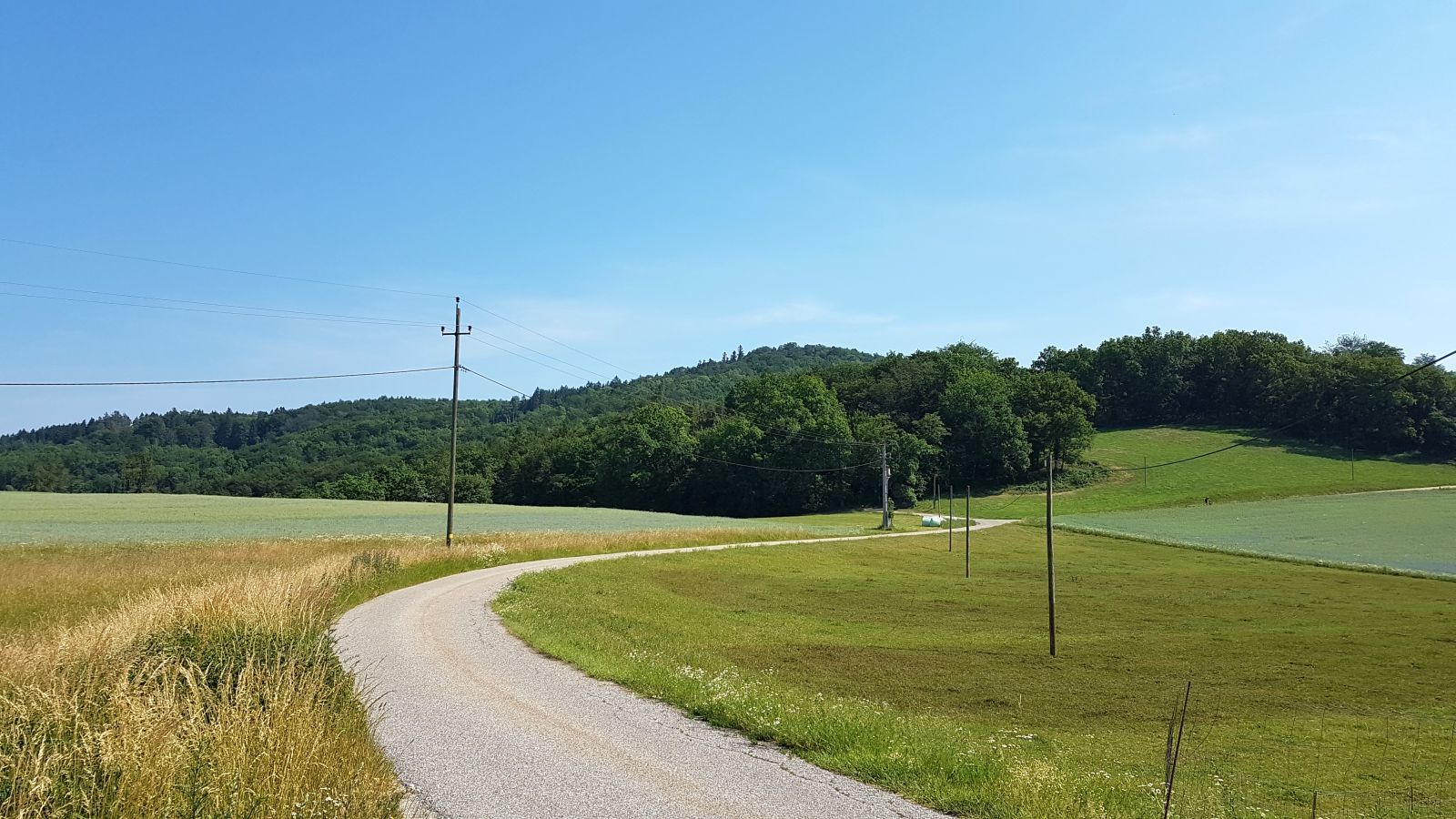
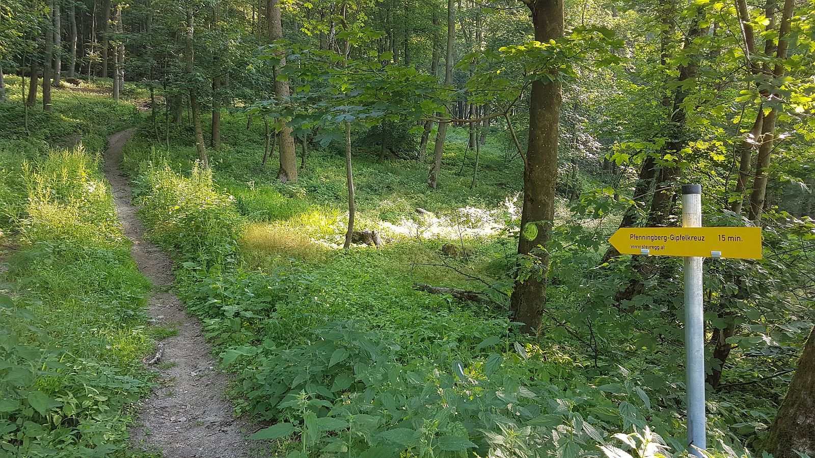
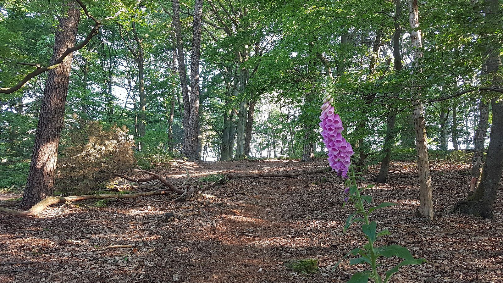
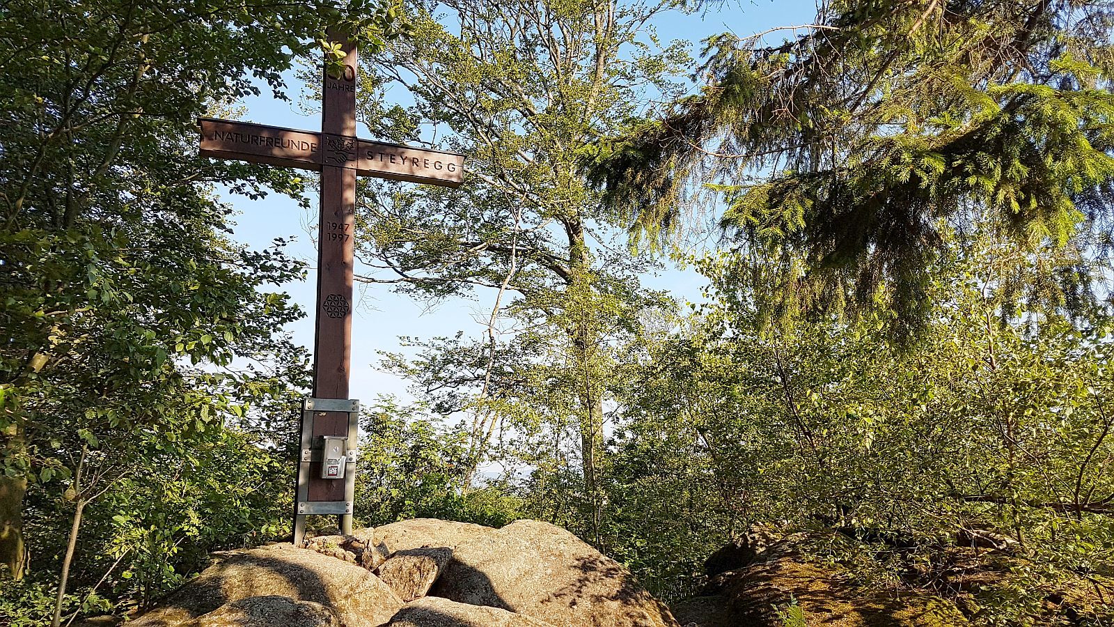
Der Pfenningberg-Gipfelwanderweg führt von Steyregg Stadtgarten über Kirchengasse, Bergsiedlung, ehemalige Fernsehstation, Alpenverein Weg Nr. 51, Bauernhof Brauner, Alpenverein Weg Nr. 50 und den letzten steilen Anstieg zum Pfenningberg-Gipfel auf 616 m. 4,2 km bzw. 1,5 h.
- Difficulty
-
medium
- Rating
-
- Starting point
-
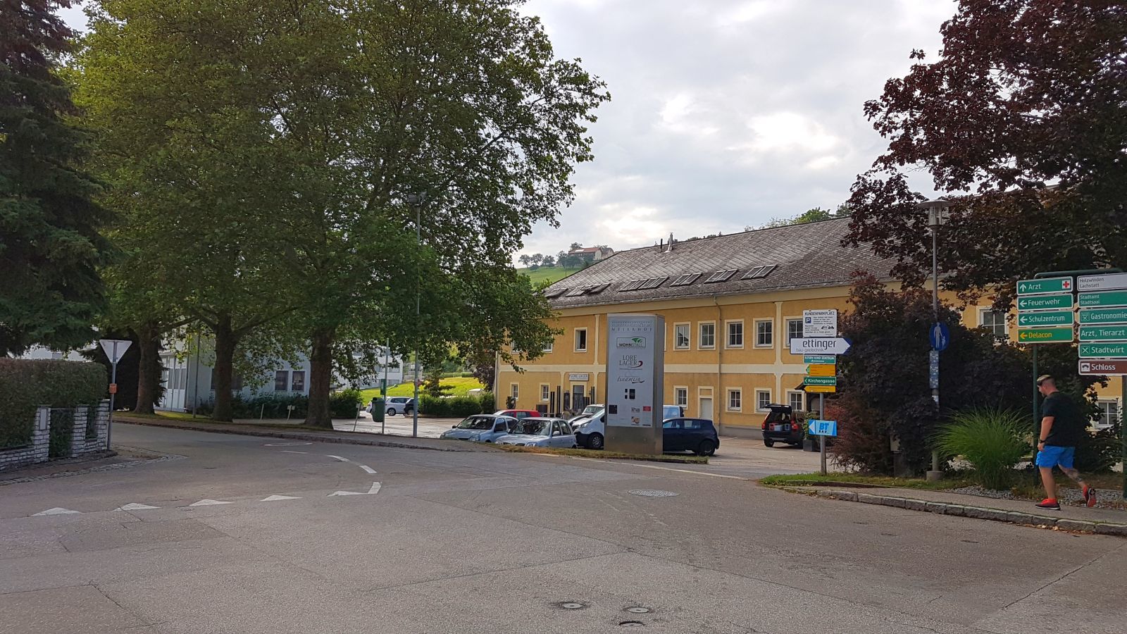
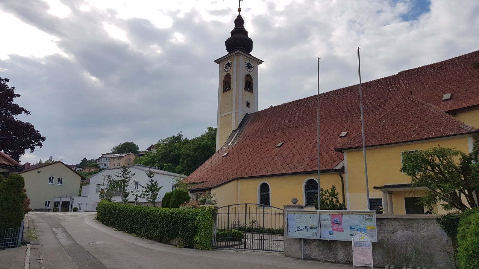
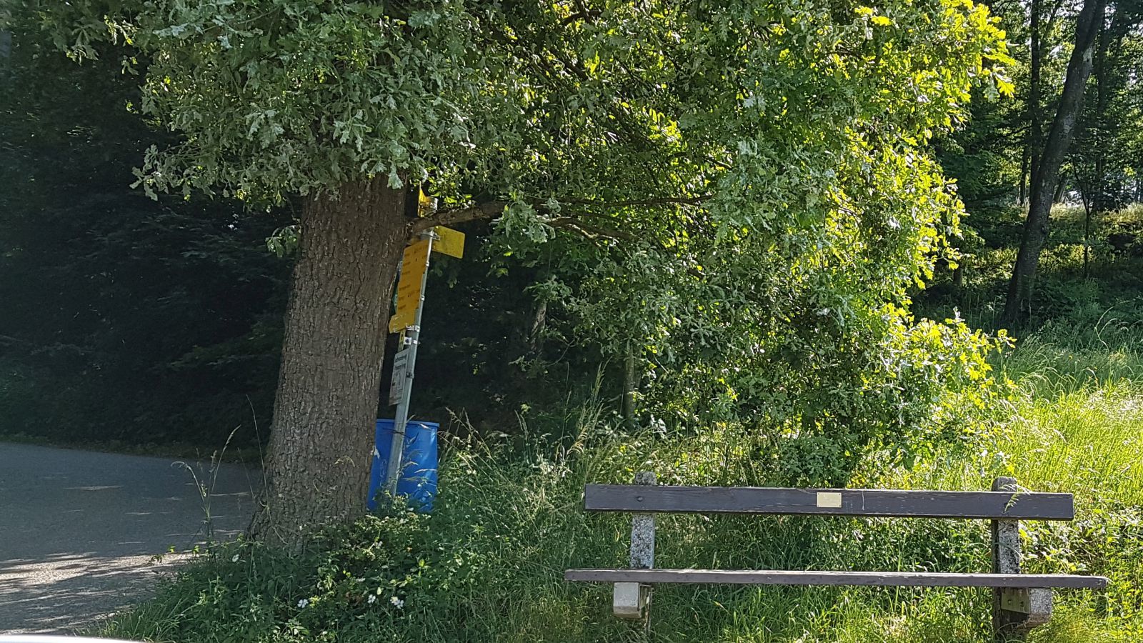
Wanderstart (Parkplatz + Bushaltestelle beim Stadtgarten/Kindergarten)
- Route
-
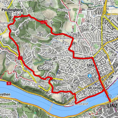
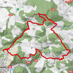
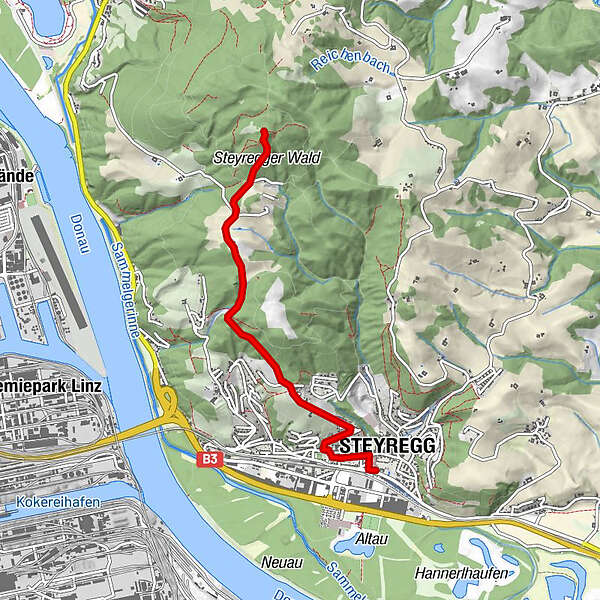
Steyregg (259 m)0.2 kmSankt Stefan0.6 kmPfenningberg (616 m)4.0 km
- Best season
-
JanFebMarAprMayJunJulAugSepOctNovDec
- Highest point
- Pfenningberg (616 m)
- Endpoint
-
Pfenningberg Gipfel
- Rest/Retreat
-
Imbiss Dörfler und Stadtwirt in Steyregg bzw. Gasthof Daxleitner (30 Minuten vom Pfenningberg Gipfel entfernt).
- Ticket material
-
BEV-Karte 4319-Ost, Linz 1:25.000 www.freytagberndt.com/shop/9007868053...
Donausteig, Wanderkarte 1:50.000 www.freytagberndt.com/shop/9783707913...
KOMPASS Wanderkarte Linz und Umgebung, Mühlviertel, Wels, Steyr 1:50.000 shop.kompass.de/kompass-wanderkarte-l...


GPS Downloads


Trail conditions
Asphalt
Gravel
Meadow
Forest
Rock
Exposed
Other tours in the regions
-
Mühlviertel
1791
-
Linz & Region Linz
842
-
Steyregg
317