© Gasteinertal Tourismus - Christoph Oberschneider
- Brief description
-
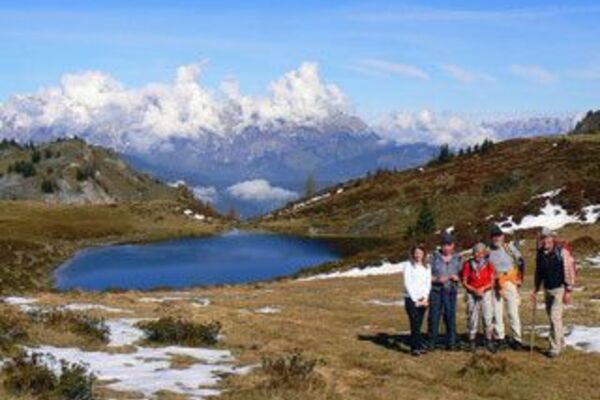
Für den geübten Wanderer!
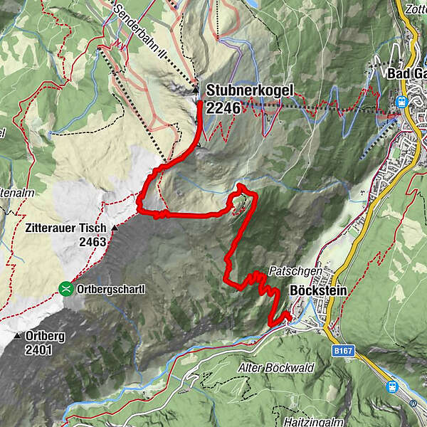
- Route
-
Altböckstein0.0 kmBöckstein0.1 kmGasthaus Radhausberg0.1 kmBöckfeldalm2.1 kmTischkogel (2,409 m)5.7 kmZitterauer Scharte (2,163 m)6.6 kmGipfelrestaurant Stubnerkogel7.5 km
- Highest point
- 2,396 m
- Endpoint
-
Bergstation Stubnerkogelbahn
- Height profile
-

- Author
-
The tour Böckstein - Tischkogel - Stubnerkogel is used by outdooractive.com provided.
GPS Downloads


Other tours in the regions