

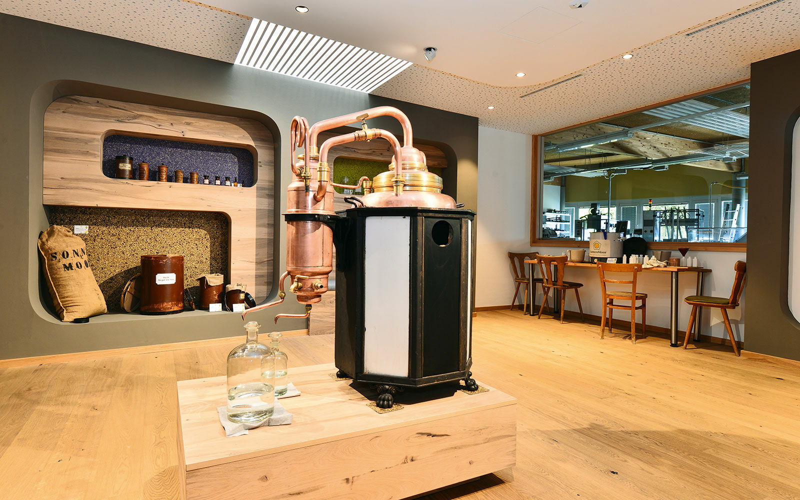
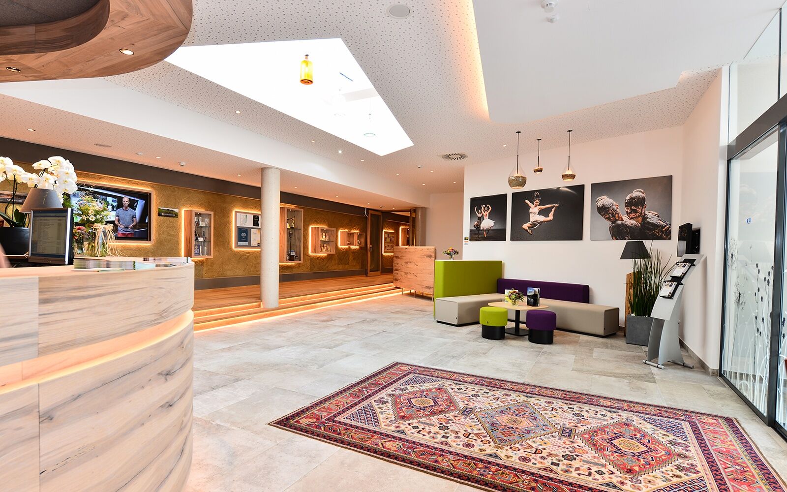
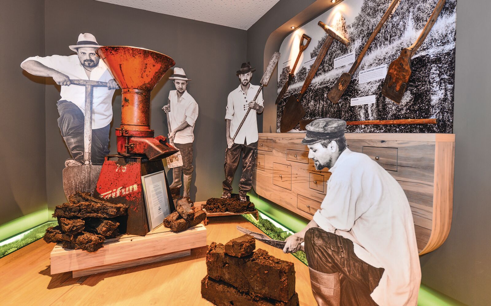
© sonnenmoor.at

© sonnenmoor.at

© sonnenmoor.at

© sonnenmoor.at

- Brief description
-
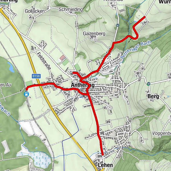
EIN SCHAUKELWEG, DAS MOOR UND DER GENUSS
- Difficulty
-
easy
- Rating
-
- Route
-
Kerneis Mostheuriger0.6 kmAmmerhauser0.9 kmLehen1.9 kmAnthering3.1 kmPfarrkirche Anthering3.1 km
- Best season
-
JanFebMarAprMayJunJulAugSepOctNovDec
- Highest point
- 504 m
- Height profile
-


-

-
AuthorThe tour Anthering und das Moor is used by outdooractive.com provided.
GPS Downloads


General info
Refreshment stop
Other tours in the regions
-
Stadt Salzburg & Umgebung
1492
-
Anthering
273


