


- Brief description
-
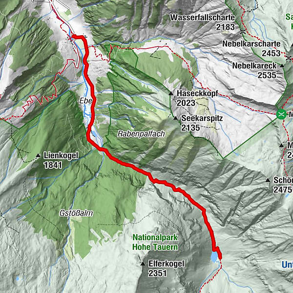
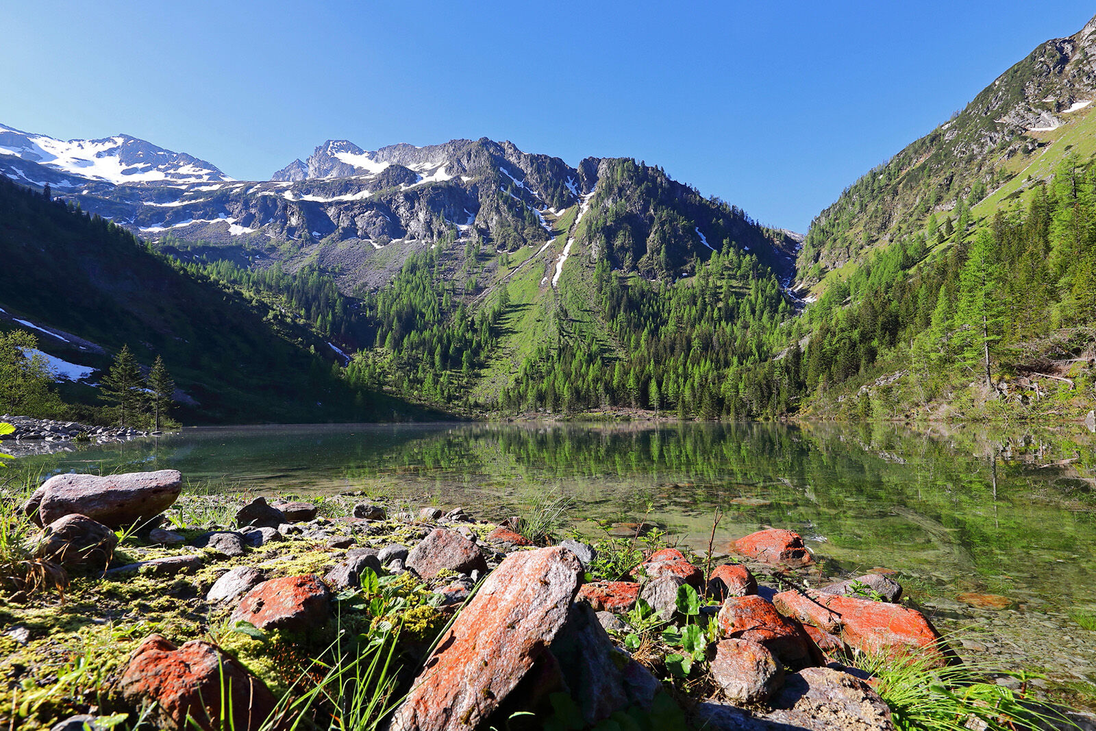
Hiking tour to the Schödersee, which is a periodical mountain lake.
- Difficulty
-
medium
- Rating
-
- Starting point
-
Parking lot Hüttschlag valley end
- Best season
-
JanFebMarAprMayJunJulAugSepOctNovDec
- Description
-
This hike starts at the parking space at the inn Talwirt at the end of the valley in Hüttschlag. Here you can enjoy local delicacies and buy home-smoked bacon. Next to it is the Hüttschlager Bauernladenstüberl, where you can also taste and buy products from their own production. Right next door is the Hüttschlag Valley Museum, which is definitely worth a visit.
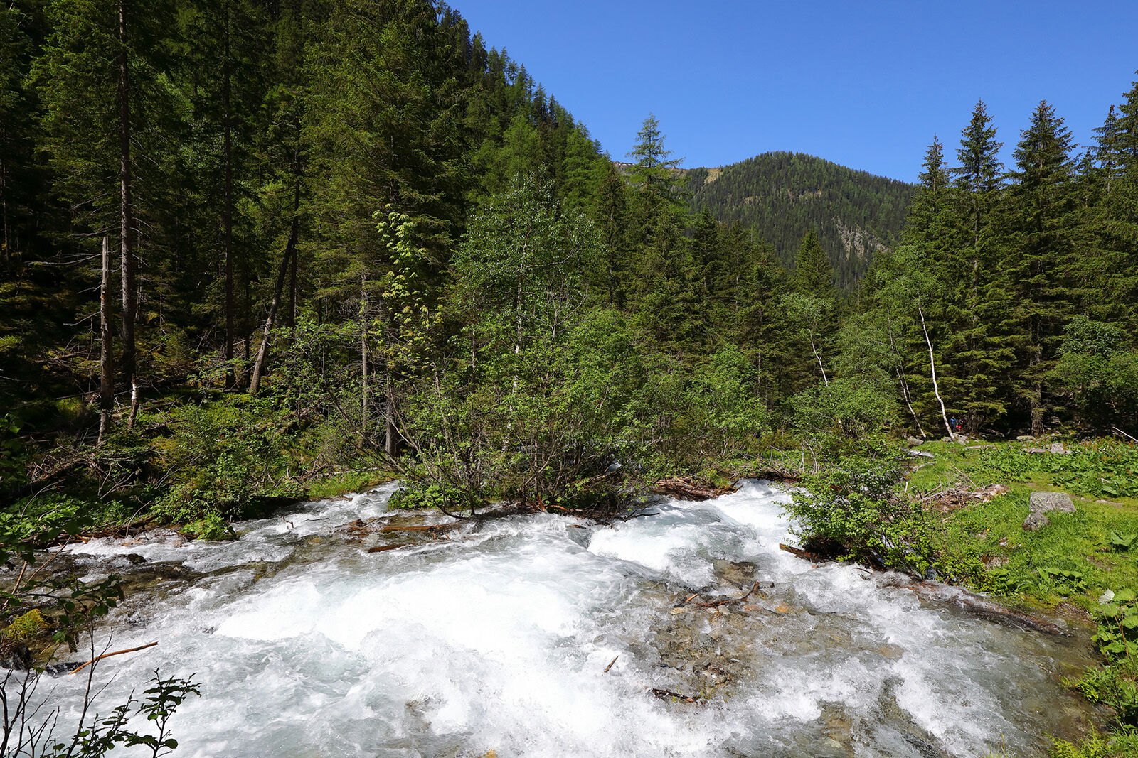
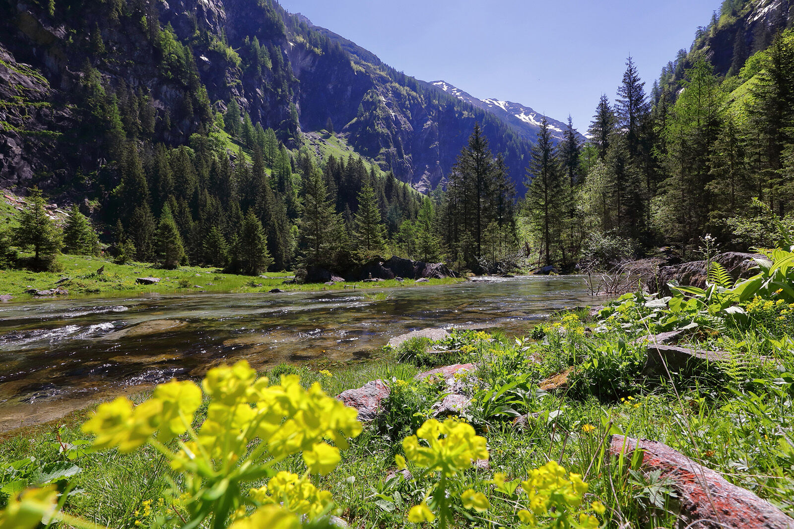
The trail first leads past the Stockham farm, the old Seegut and finally runs through the meadows and floodplains at the head of the valley to "Hüttschlag/See". Near the bridge over the stream on the right, there is a natural Kneipp facility with a public barbecue area. Just a few metres after the Kneipp facility, a path branches off to the left to Ötzlsee.
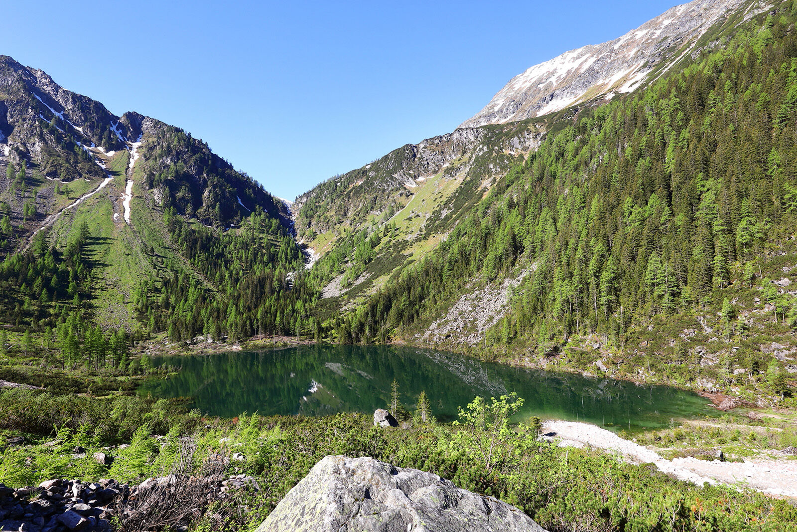
The path continues over hill and dale alongside the stream into the idyllic Schödertal valley. Finally you reach the Schödersee. This is a periodic mountain lake that only fills up when the snow melts and after particularly heavy downpours. During periods of good weather in summer, it often dries out completely due to its underground drainage, leaving only a few small, narrow streams that eventually disappear between the stones in the ground.
The interesting "Elemental Nature Trail" with around 50 information boards leads from the car park at the Talwirt to the Schödersee. These tell you about the history, minerals, plants and animals in the Schödertal.
- Directions
-
Go by car or bus to the valley end of Hüttschlag - parking space at the inn Talwirt. You hike along the way (no. 512) to the Ötzlsee (approx. 1/2 h). From here, you hike into the Schödertal to the Schödersee, 1,440 m (about 1 1/2 h). Back on the same route (about 1 3/4 h).
- Highest point
- 1,440 m
- Endpoint
-
Schödersee
- Height profile
-

- Equipment
-
Hiking boots with treaded soles, hiking map, rucksack with provisions, water bottle and first aid pack
- Safety instructions
-
The paths are often very slippery, so good footwear is essential.
- Tips
-
The tour is particularly recommended in spring after the snow has melted.
Experienced mountaineers can hike up to the Arlscharte.
- Additional information
- Directions
-
Go by car to the head of the valley Hüttschlag. Alternatively, you can take bus no. 540 to the bus stop Hüttschlag Talschluss.
- Public transportation
- Parking
-
parking lot Hüttschlag valley head
- Author
-
The tour Hüttschlag: Schödersee is used by outdooractive.com provided.


General info
-
Katschberg Lieser-Maltatal
2559
-
Großarltal
2143
-
Hüttschlag
830


