


Tour data
12.01km
877
- 1,779m
902hm
893hm
03:02h
- Difficulty
-
medium
- Rating
-
- Starting point
-
Gasthof Joglland
- Route
-
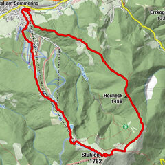
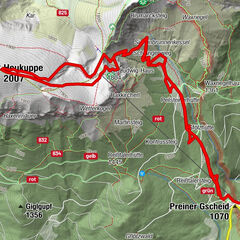
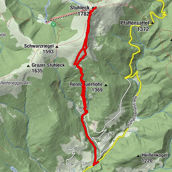
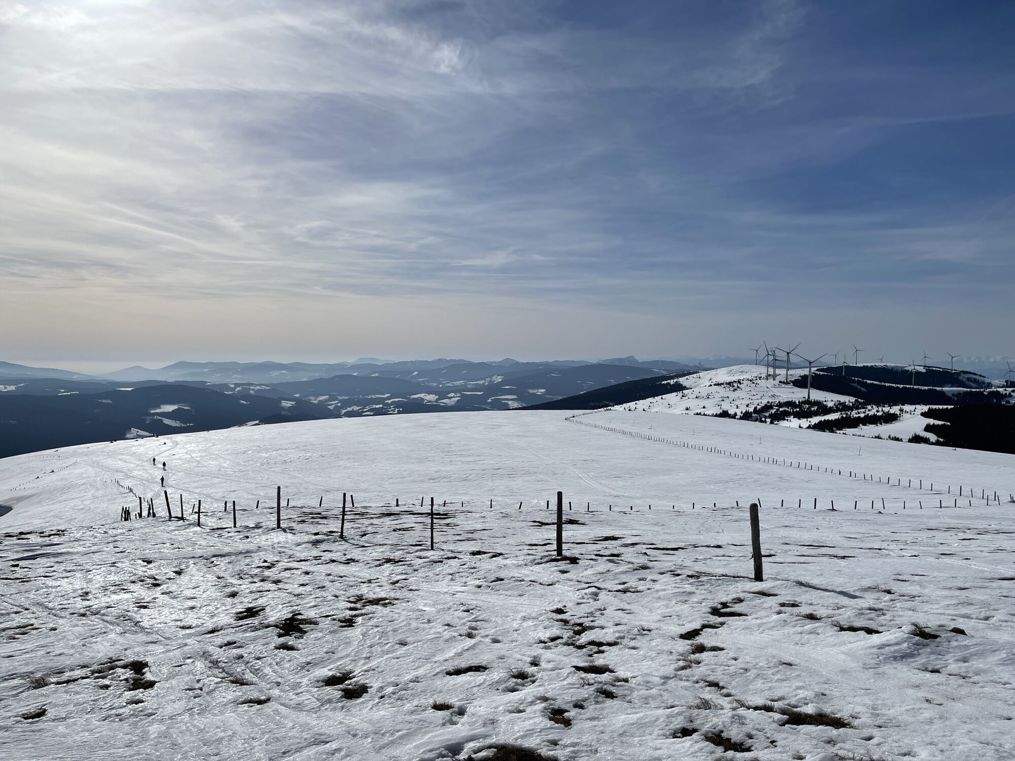
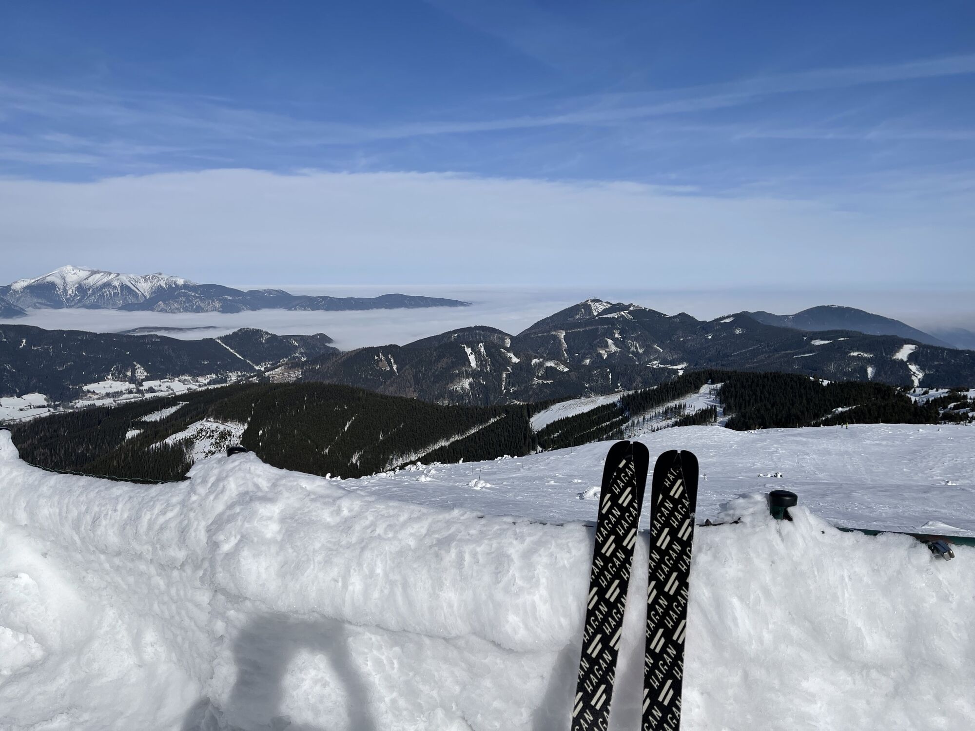
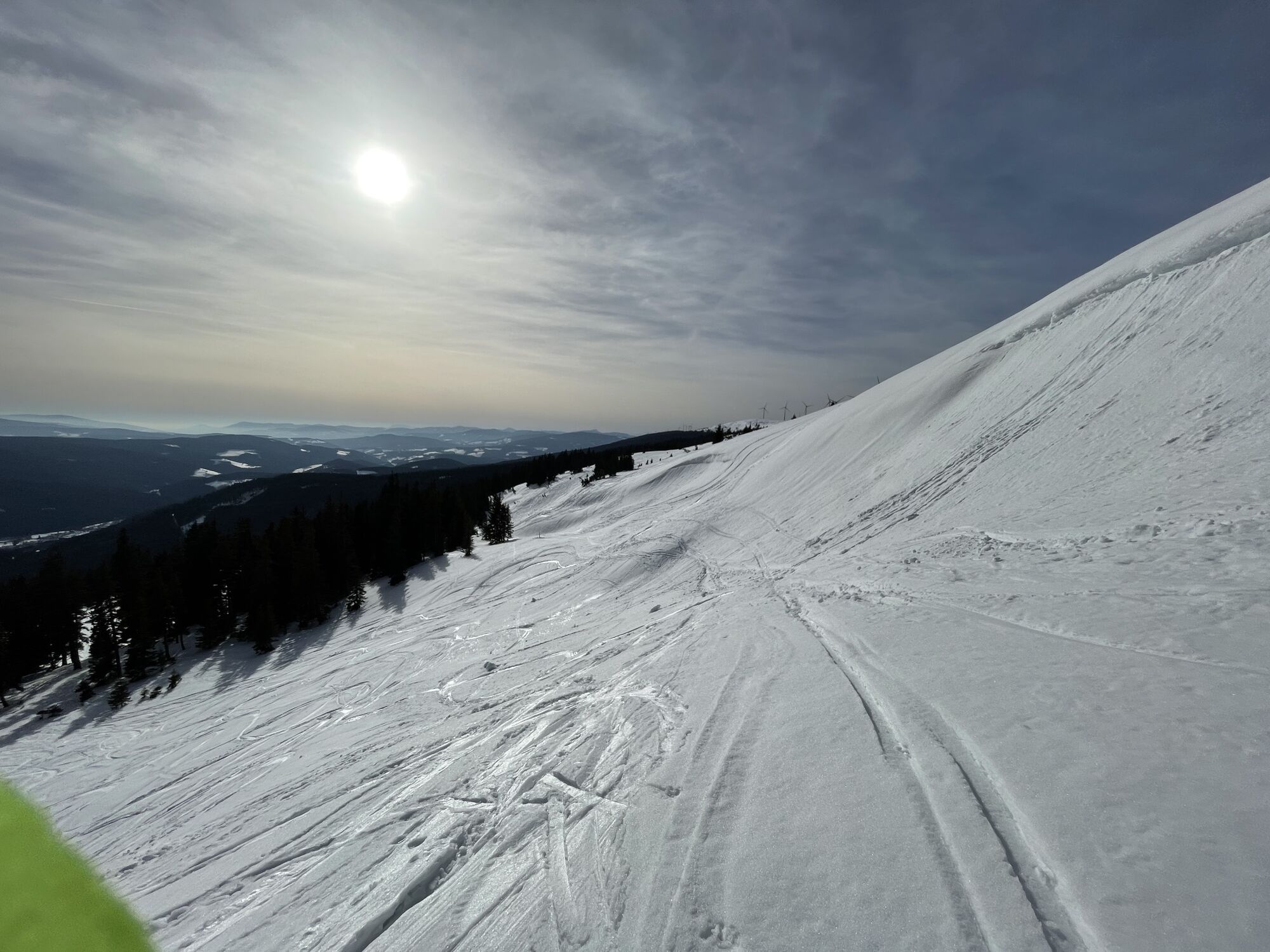
Forellengasthof JogllandStuhleck (1,782 m)6.0 kmAlois-Günther-Haus6.1 kmForellengasthof Joglland11.7 km
- Best season
-
AugSepOctNovDecJanFebMarAprMayJunJul
- Highest point
- 1,779 m
- Endpoint
-
Alois Günther Haus, Stuhleck
- Exposition
- Source
- Christoph Teufel
GPS Downloads


Other tours in the regions
-
Hochsteiermark
79
-
Waldheimat
47
-
Rettenegg
25