
- Brief description
-
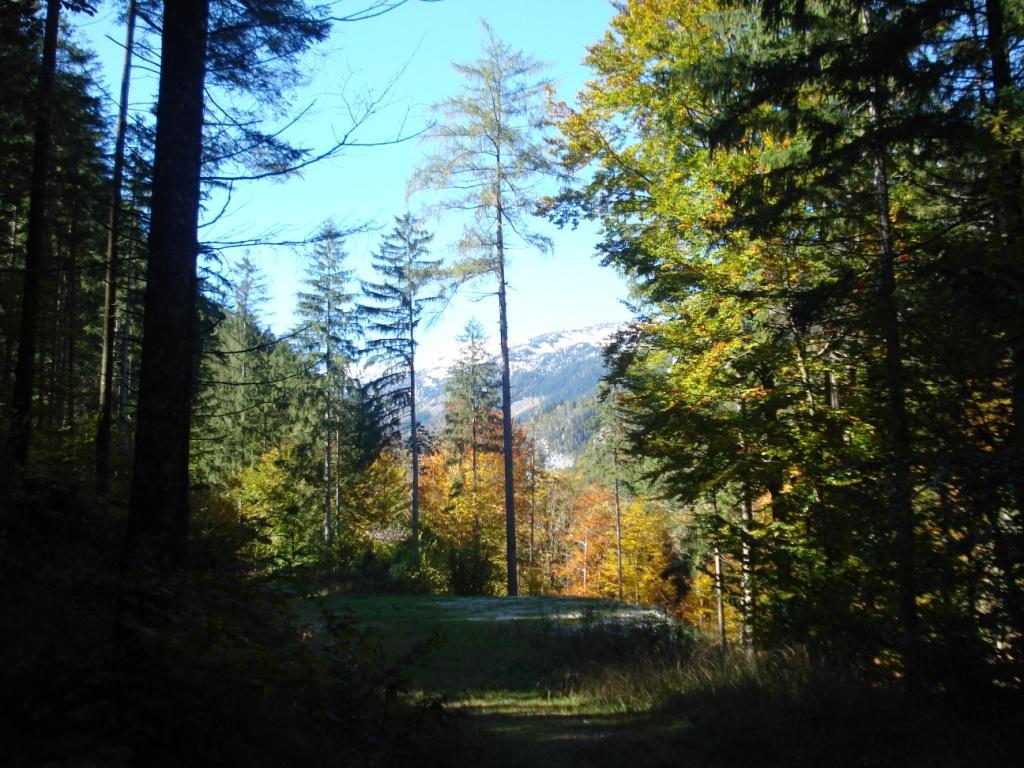
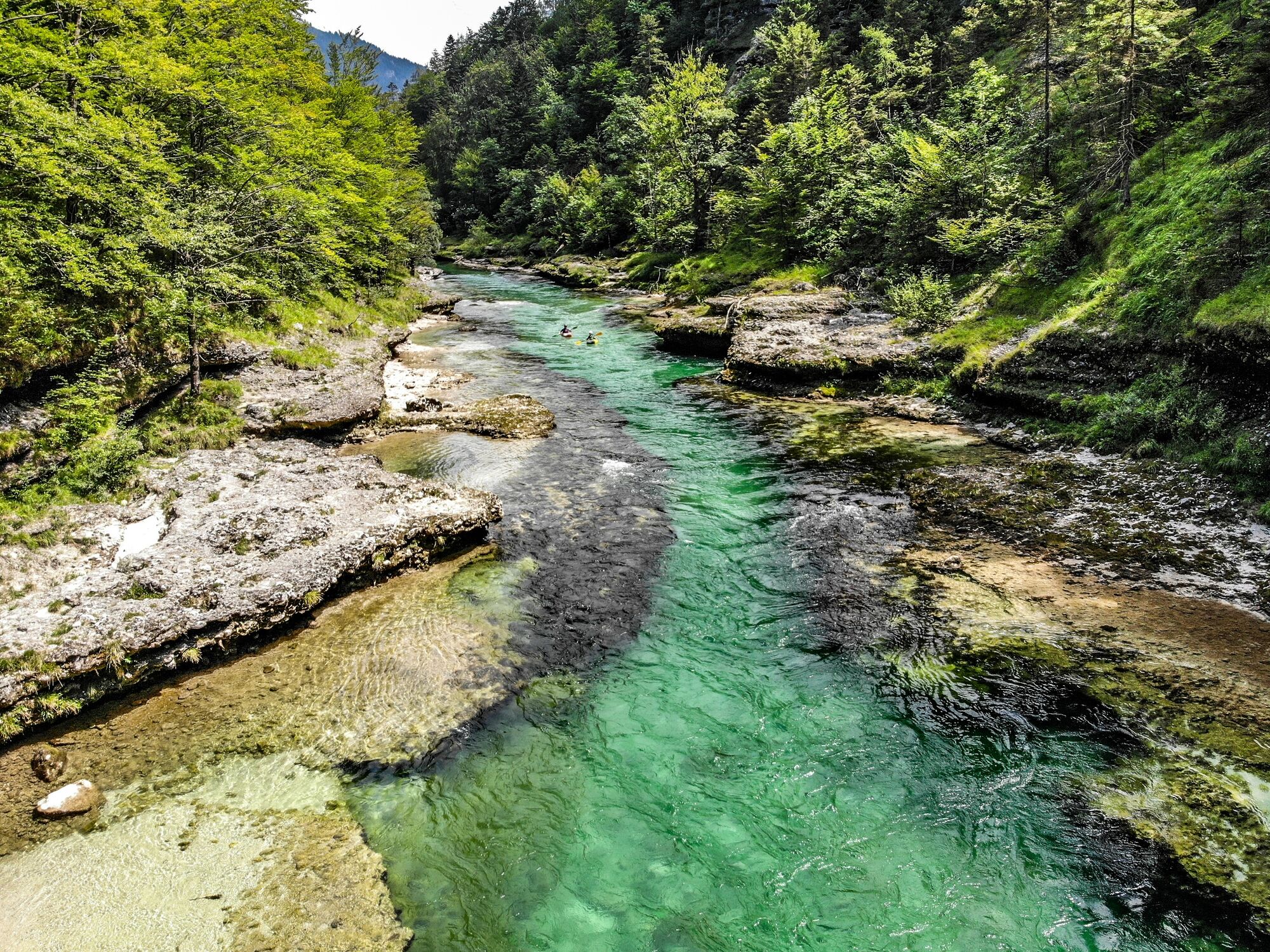
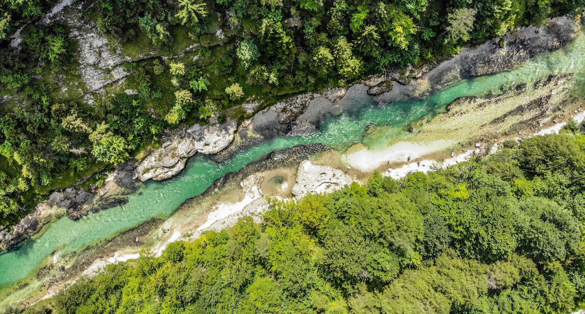
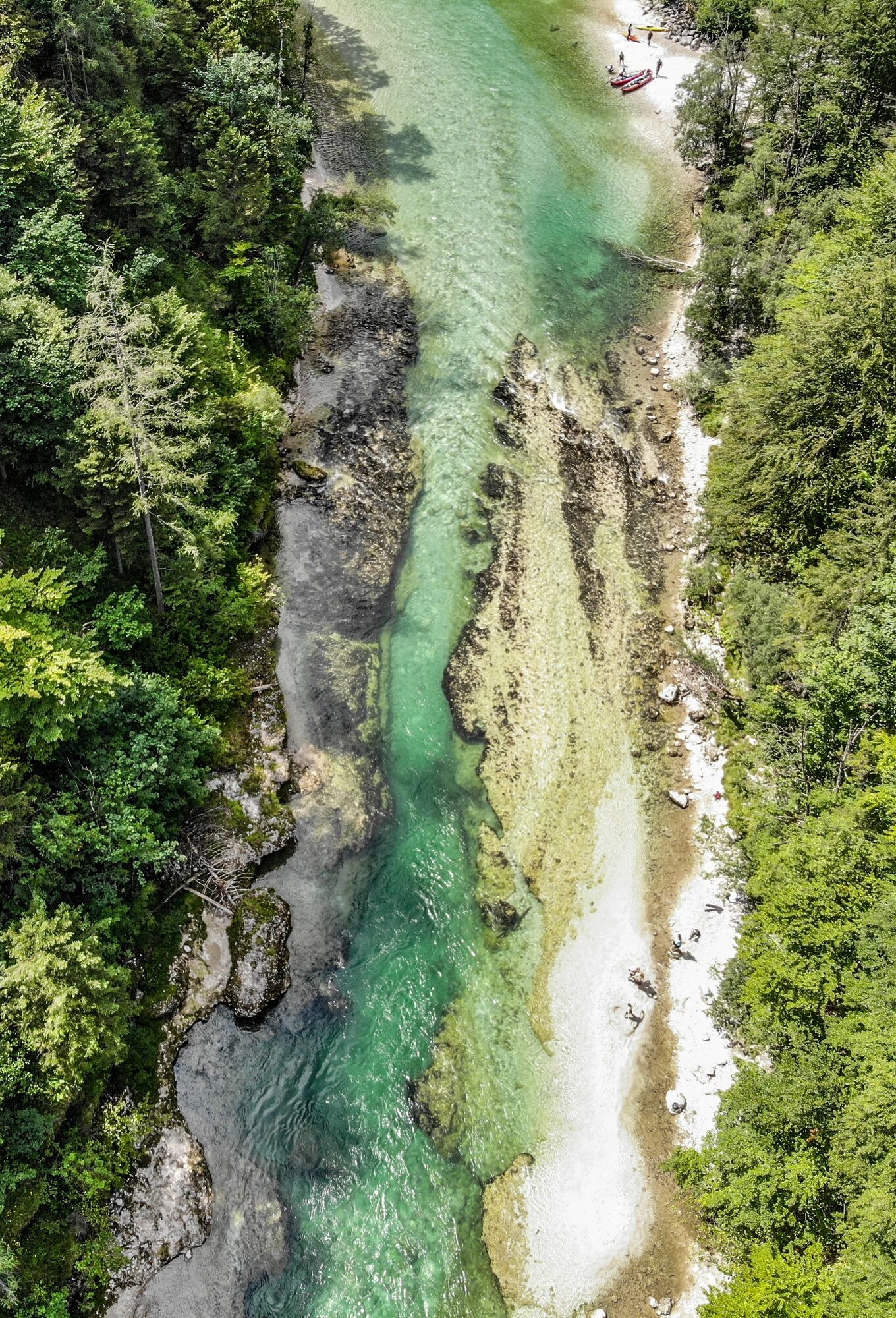
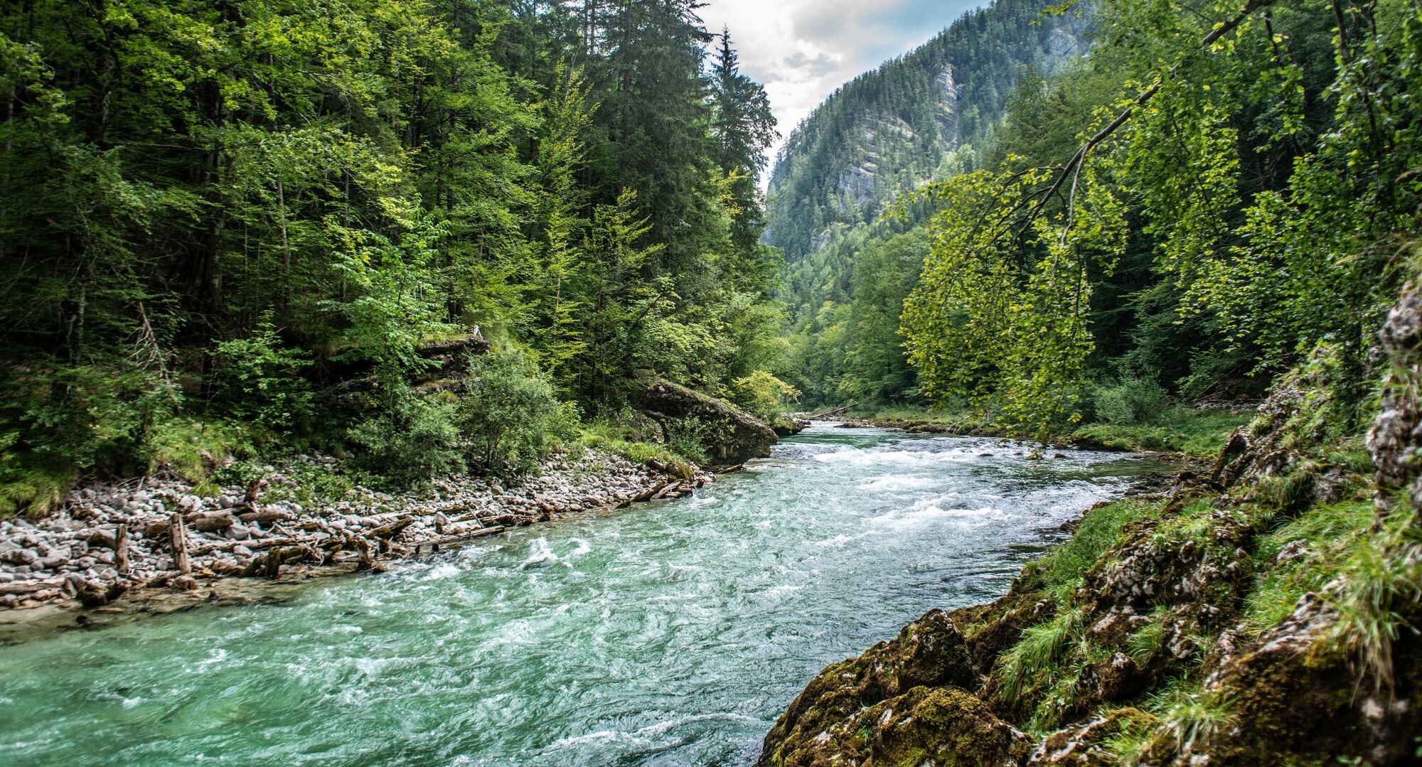
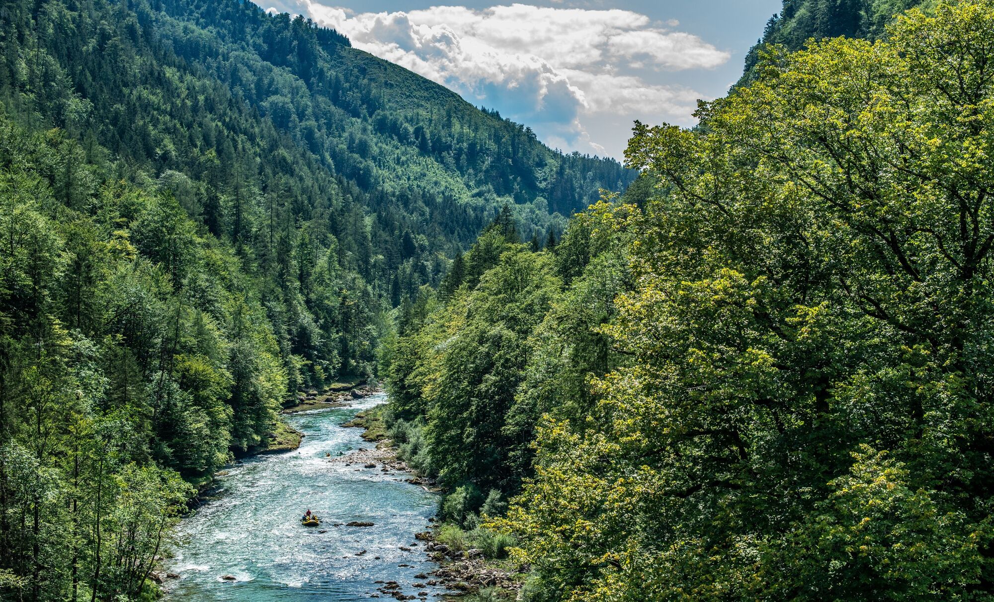
Beautiful walk along the rushing Salza river. Suitable for families with small children or for older people.
- Difficulty
-
medium
- Rating
-
- Starting point
-
B24-Ewaldbrücke
- Best season
-
JanFebMarAprMayJunJulAugSepOctNovDec
- Description
-
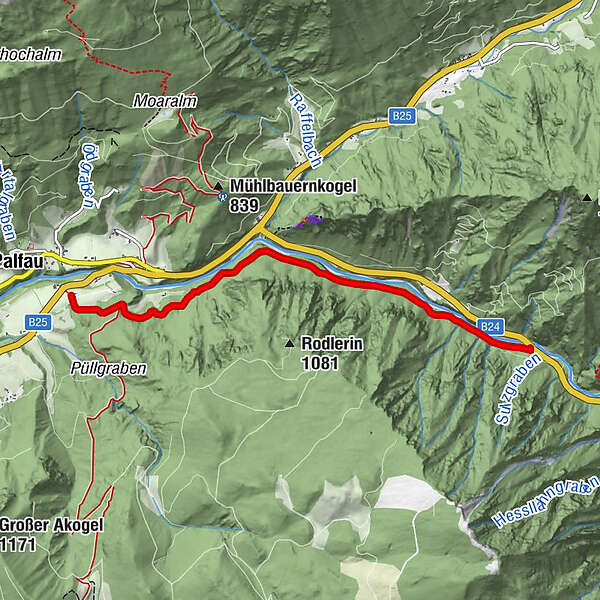
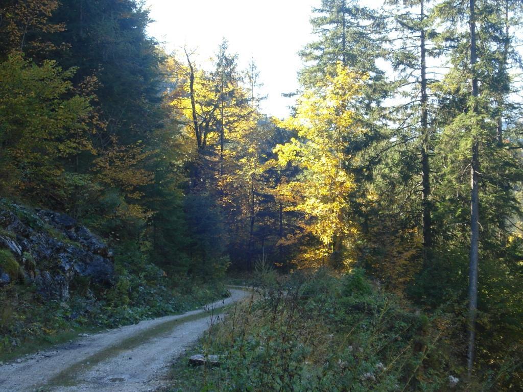
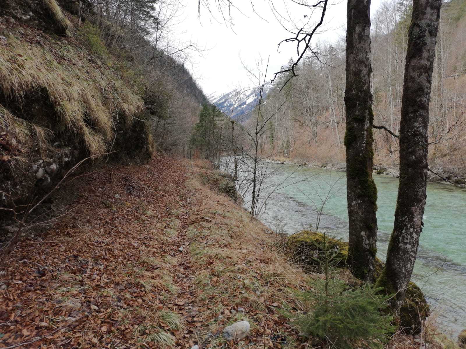
The path, which runs mostly flat on the left bank of the Salza, leads mainly through shady high forest to the "An der Wacht" area between Erzhalden and Palfau.
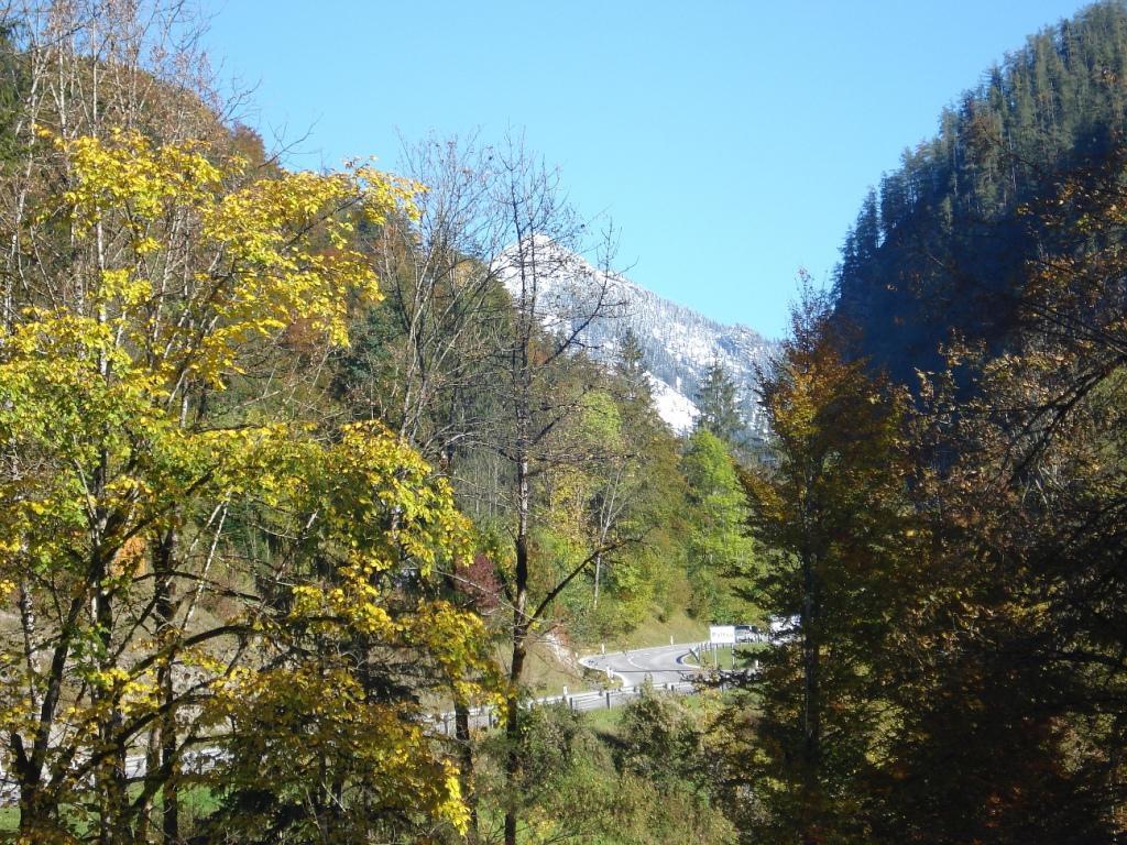
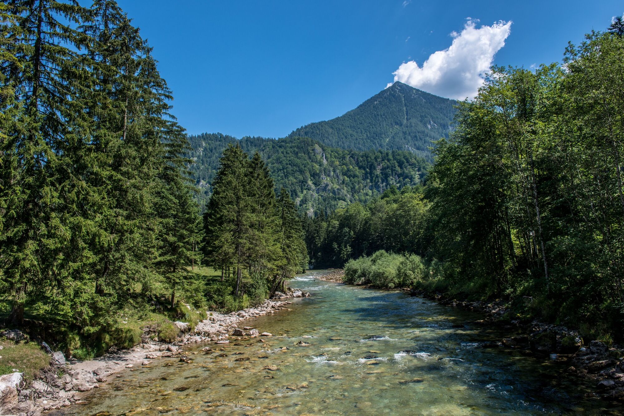
After a slight ascent on a forest path, with a wonderful view of the other side of the valley to Palfau
- Directions
-
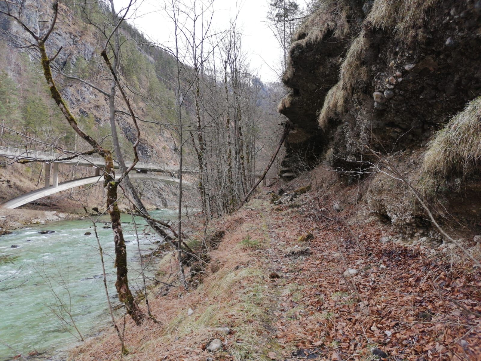
There is a parking lot (Tschechenplatz) directly at the federal road B24, about 1 km before the GH Wasserlochschenke. Follow the B24 for about 100m in the direction of Palfau until you reach the Salzabrücke. On the right side (N) of the bridge, the path leads under the Saltabridge to the path to "Paradise". The path, which is mostly flat on the left bank of the Salza, leads mainly through shady high forest to the "An der Wacht" area between Erzhalden and Palfau. After a slight ascent on a forest path, with a wonderful view of the other side of the valley to Palfau and the Gamsstein, the path runs flat again until it meets the forest path to the Reiteralm. Follow this forest path slightly downhill to the former forester's lodge.
Once in Palfau, either take the same path back or take the road back to your starting point.
Translated with www.DeepL.com/Translator (free version)
- Highest point
- 603 m
- Endpoint
-
ehemaliges Forsthaus Langanger
- Height profile
-

- Equipment
-
Sturdy mountain boots or good trekking shoes, as well as a hiking rucksack with appropriate contents (water bottle, first aid, hiking map, sun protection, snack, etc.). You should also be well prepared for a change of weather. Mobile phone for emergency call. Do not forget your sleeping bag for the overnight stay in the huts! As little as possible, as much as necessary
- Safety instructions
-
no difficulties
Please be careful with children who are romping around as there is sometimes a danger of falling into the Salzatal.
- Tips
-
Stop at the staircase innkeeper in Palfau and hitchhike back to the car.
- Additional information
-
Infobüro/Salza Wildalpen
Wildalpen 91 – 8924 Wildalpen Tel. 03636/241 infosalza@gesaeuse.at
Mo und Fr. 9:00-17:00
www.gesaeuse.at
- Directions
-
From Vienna: West motorway A1 to Amstetten; federal road B121 via Waidhofen a.d. Ybbs to Weyer Markt; federal road B115 via Altenmark to Großreifling; state road L714 to Palfau, the B25 and B24 in the direction of Wildalpen until approx. 1km before the Wasserlochschenke. From Salzburg/Linz: West-Autobahn A1 to Enns; Bundesstraße 115 via Steyr, Großraming, Altenmarkt to Großreifling; Landesstraße L714 to Palfau, the B25 and B24 in direction Wildalpen until approx. 1 km before the Wasserlochschenke. From Graz/Klagenfurt: Motorway A9 to Traboch; federal road 115 via Trofaiach, Vordernberg, Präbichl, Eisenerz, Hieflau to Landl; federal road B25 via Mooslandl, Gams b. Hieflau to Palfau, the B25 and B24 in the direction of Wildalpen until approx. 1 km before the Wasserlochschenke.
- Public transportation
-
The best way to get there is to search for a connection in advance at: www.oebb.at or www.verbundlinie.at
Taxi and rental car trips: Reinhold Missethon: Mobile 0043 (0) 650 3101020 or Mobile 0043 (0) 664 4520690
TAXI Johanna Werner, phone 0043 (0)3636 / 321 or 0043 (0)664 / 648 55 37
- Parking
-
On the B24 approx. 100m in the direction of Palfau until you reach the Salzabrücke. On the right side (N) of the bridge, the path leads under the Saltabridge to the path to "Paradise".
-

-
AuthorThe tour Paradise Path Palfau is used by outdooractive.com provided.


General info
-
Erzberg Leoben
2547
-
Hochschwab
1286
-
Hochkar
225