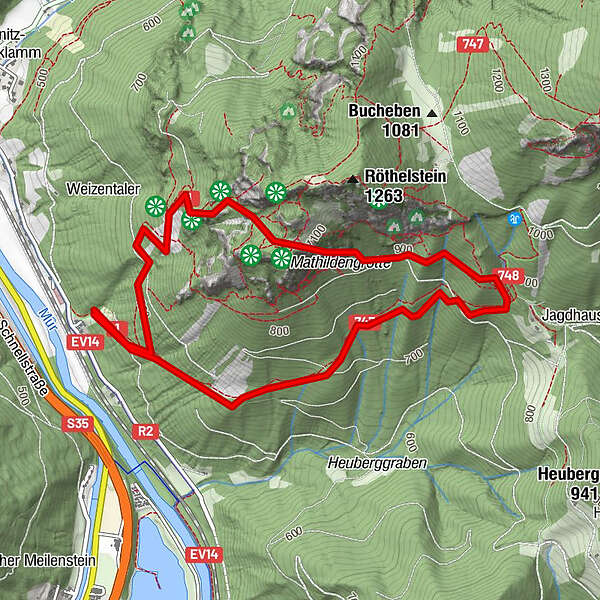
Tour data
5.46km
485
- 1,104m
585hm
03:00h
- Brief description
-
kurze Wanderung in teilweise sehr steilem Gelände
- Rating
-
- Starting point
-
Mixnitz (462 m), Parkplatz Drachenhöhle (Schautafel, Sitzgruppe). In Mixnitz nach rechts, Wegweiser „Tennisstüberl“
- Route
-
Drachenhöhle (950 m)1.6 kmMathildengrotte2.3 km
- Highest point
- 1,104 m
GPS Downloads


Trail conditions
Asphalt
Gravel
Meadow
Forest
Rock
Exposed
Other tours in the regions
-
Erlebnisregion Graz
2813
-
OberGraz
1739
-
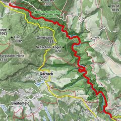
Mixnitz
445