- Brief description
-
This is a slightly longer hike, with fantastic viewpoints and great locations.
- Difficulty
-
medium
- Rating
-
- Starting point
-
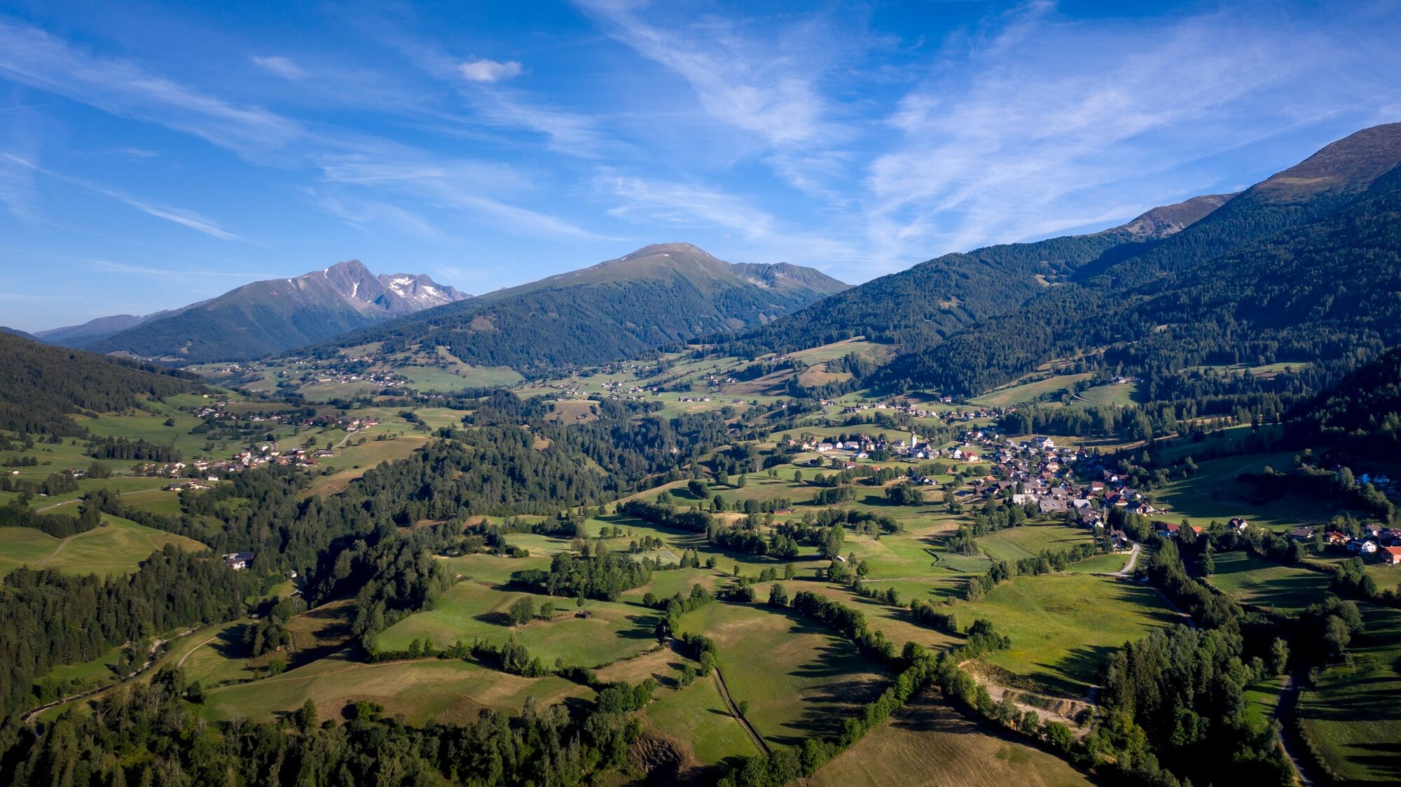
Municipal Office, Krakaudorf
- Route
-
Krakaudorf0.0 kmScharnigl0.5 kmTrübeck (2,367 m)5.9 km
- Best season
-
JanFebMarAprMayJunJulAugSepOctNovDec
- Description
-
Due to the length and the altitude, this tour requires a certain level of fitness and endurance. However, all this effort is made up for by phenomenal viewpoints and “secret spots”.
- Directions
-
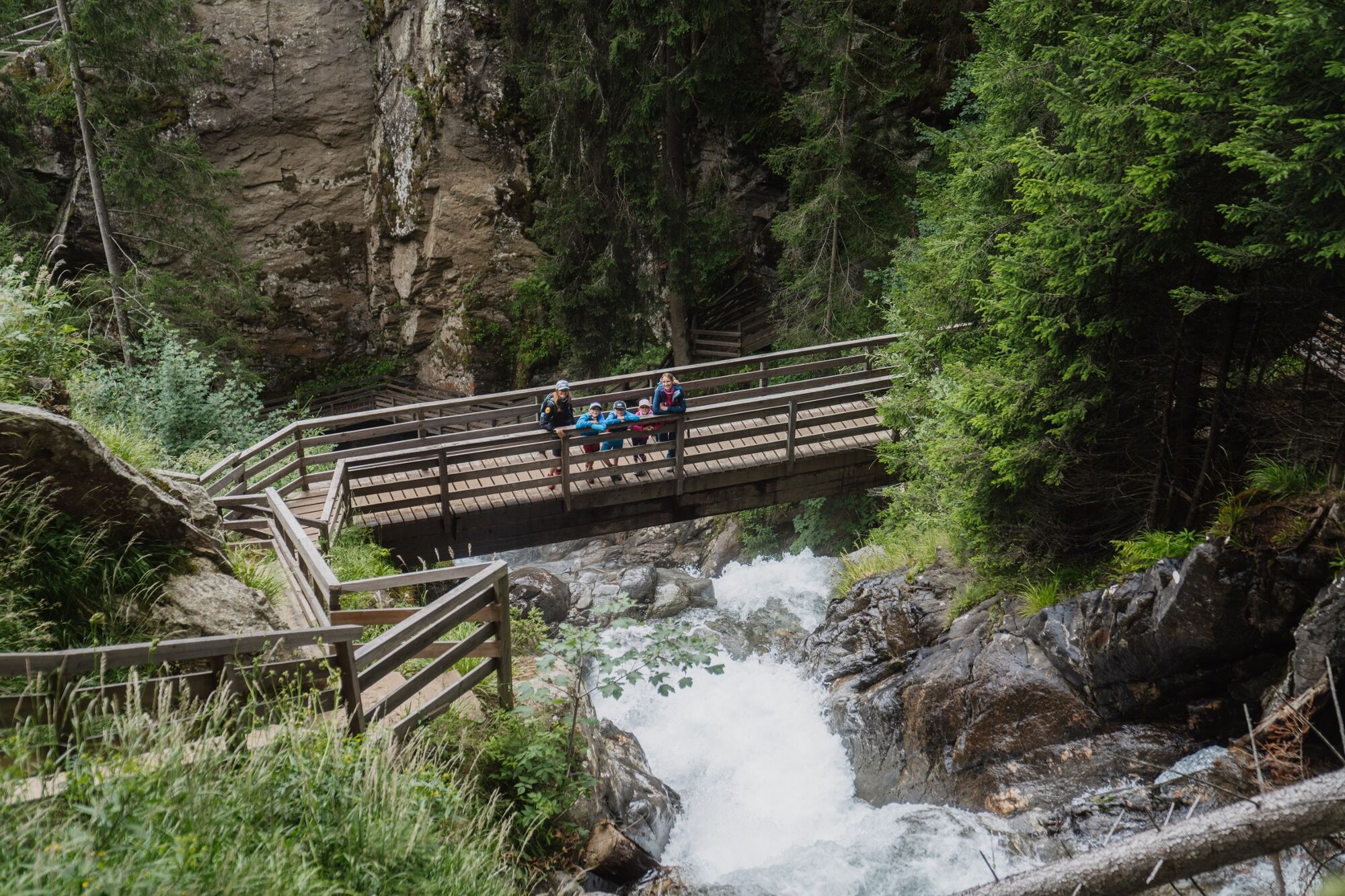
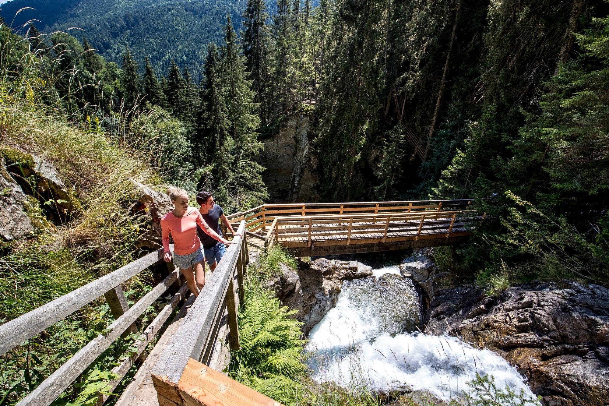
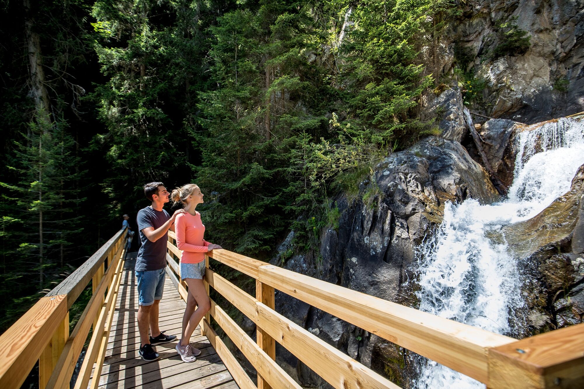
From the farm cf. Schaflechner, just above Krakaudorf, a red-white-red marking leads to the village huts. After about 2.5 hours on route 796 you reach Trübeck (2,367 m), which is not only a very beautiful ski tour in winter, but also impresses with its impressive regional panorama in summer. Downwards you can take path 796 A via the so-called Krautgarten and to the Günster waterfall (with a height of 65 m, the highest waterfall in Styria) (1,200 m above sea level, 5-6 hours).
- Highest point
- 2,346 m
- Endpoint
-
Günster Wasserfall
- Height profile
-

- Equipment
-
Good shoes
Sun protection
Sufficient food - Additional information
-
The ideal time for this tour is from June to October.
- Directions
-
East: From Vienna on the A 2 and S 6 to Leoben and St. Michael i. d. E., continue on the S 36 to Judenburg and on the B 96 to Murau. From Murau via Ranten to Krakau. From Graz on the A 9 to St. Michael i. d. O.. Further see above.
West, North: From Bregenz/Innsbruck via the A 12, A 93 and A 8 to Salzburg. From Salzburg on the A 10 to St. Michael im Lungau. From here on the B 96 to Tamsweg and further towards Murau via Sauerfeld to Krakau.
South: From Klagenfurt on the B 83 to Scheifling. Then take the B 96 to Murau and on to Krakau.
- Public transportation
-
With the BusBahnBim app from the interconnected line, timetable information is easier than ever: All bus, train and tram connections in Austria can be queried by entering locations and/or addresses, stops or important points. The app is available as a free app for smartphones (Android, iOS) - on Google Play and in the App Store.
- Parking
-
Public parking spaces are available directly at the municipal office.
- Author
-
The tour Krakaudorf - Trübeck- Günster Wasserfall is used by outdooractive.com provided.