- Brief description
-
An easy circular hike with a cozy stop for refreshments and a fantastic view of Knittelfeld and the surrounding area.
- Difficulty
-
easy
- Rating
-
- Starting point
-
Knittelfeld main square / Knittelfeld train station
- Route
-
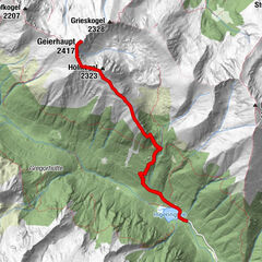
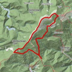
KnittelfeldStadtpfarrkirche Christus als König0.2 kmKirche der Siebenten-Tags-Adventisten0.6 kmGh. Mayerdorfer1.0 kmLandschach1.6 kmThalberghof5.7 kmLandschach8.3 kmGh. Mayerdorfer8.6 kmKirche der Siebenten-Tags-Adventisten9.3 kmStadtpfarrkirche Christus als König9.7 kmKnittelfeld9.8 km
- Best season
-
JanFebMarAprMayJunJulAugSepOctNovDec
- Description
-
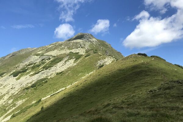
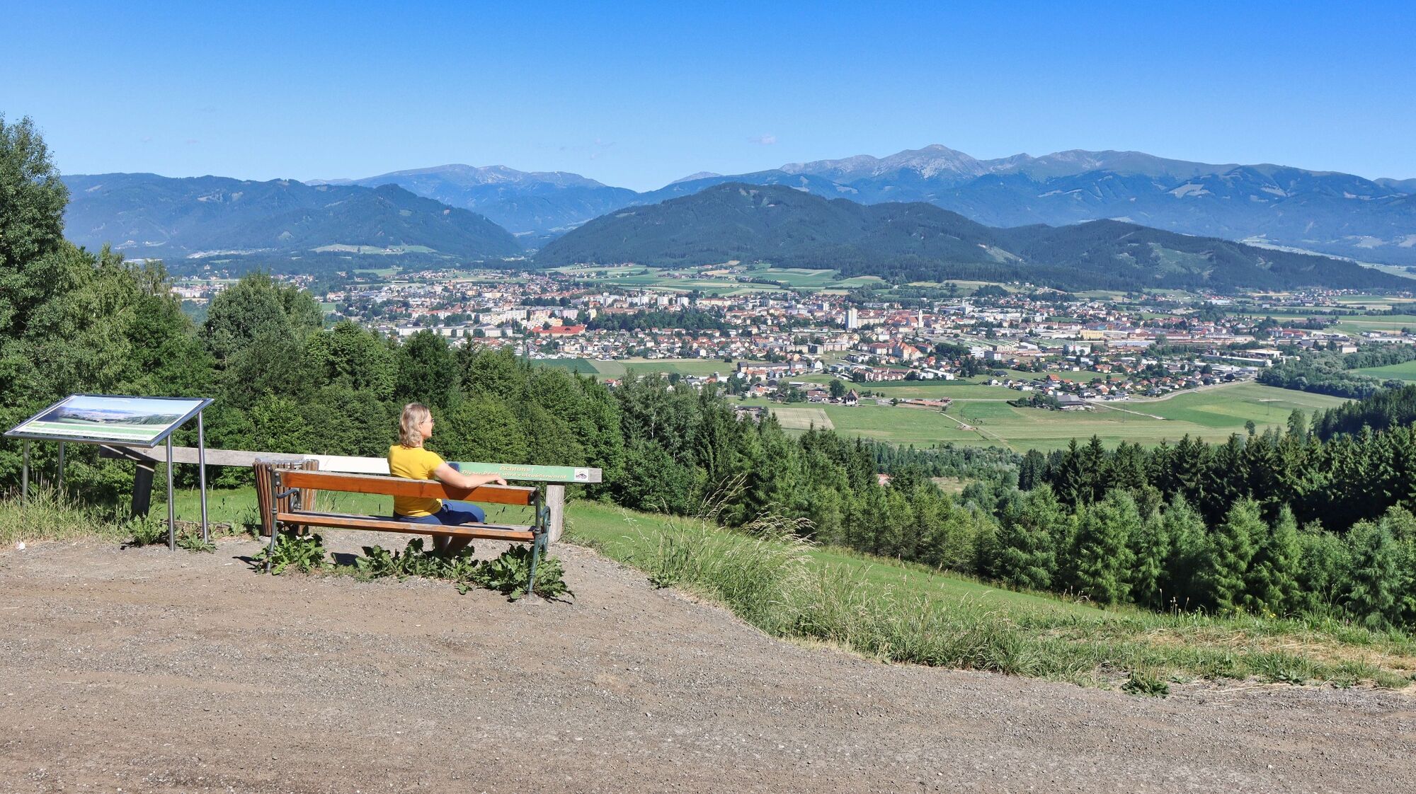
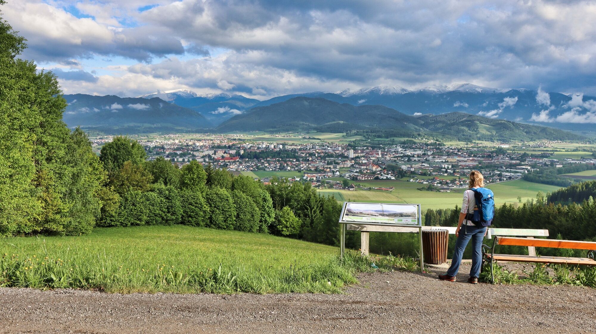
Many locals and also guests are familiar with the well-known excursion inn Thalberghof in the Murtal region, but many of them do not know the comfortable hiking trail from the Mur to the inn. Maybe next time you should leave the car in the valley and hike directly from the center in Knittelfeld or from the parking lot Hoffelner to the Thalberghof. The path was created by the initiative and commitment of the Association of Friends of the Apfelberg Advent Singing in cooperation with the municipality of Knittelfeld, the landowners and local entrepreneurs, as well as the province of Styria and the hunting community. Along the way, panoramic panels provide a wonderful overview of the largest inner-Alpine basin in Styria (Judenburg-Knittelfeld Basin, colloquially known as Aichfeld) and the Seckauer Tauern mountains towering behind it to the north and Seetaler Alps to the west. Conclusion: An easy circular hike with great views for the whole family with a cozy stop for refreshments.
- Directions
-
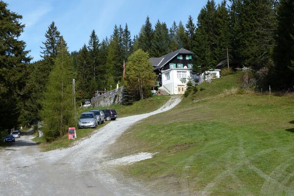
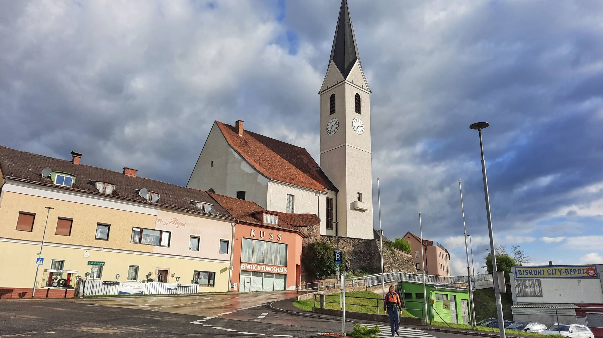
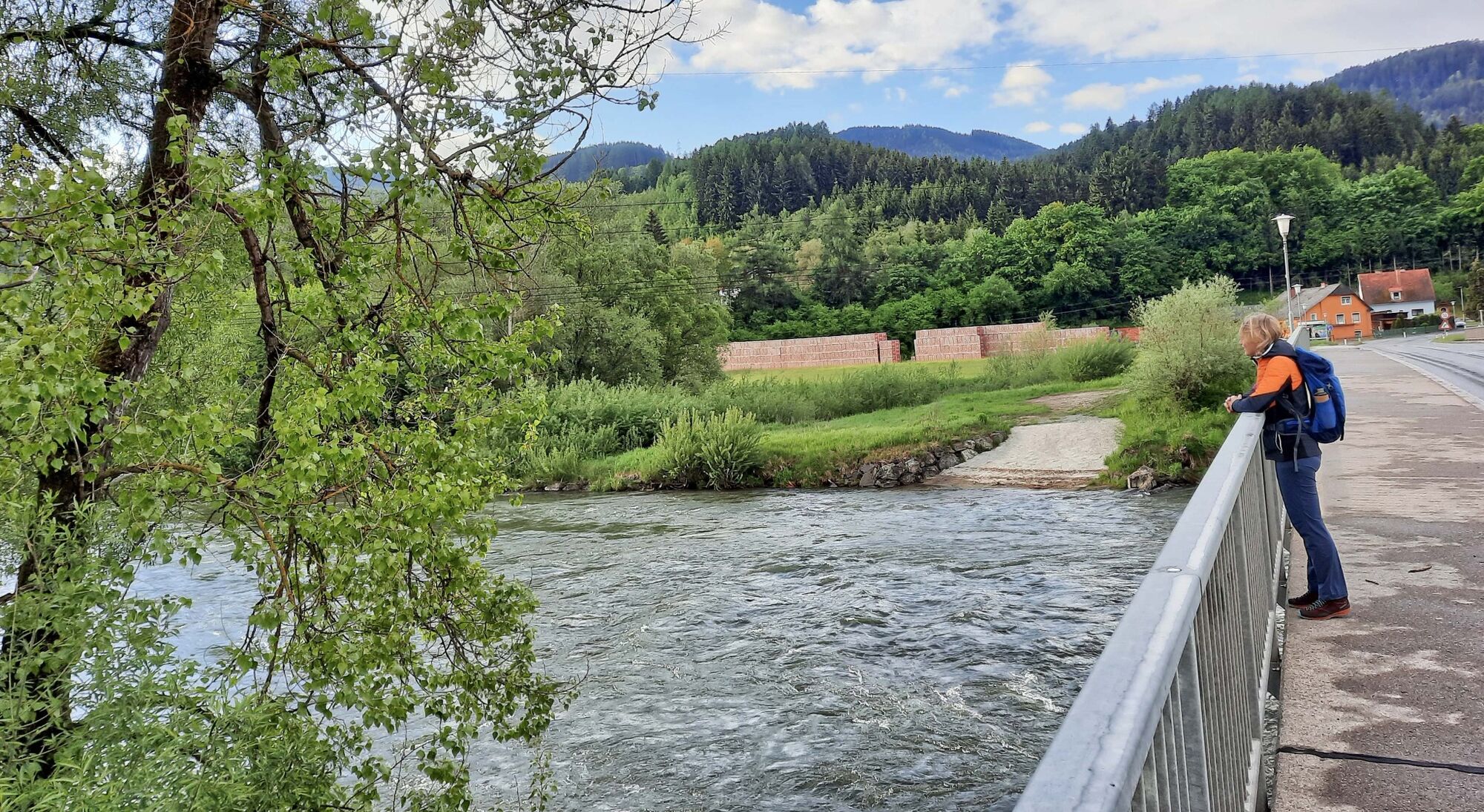
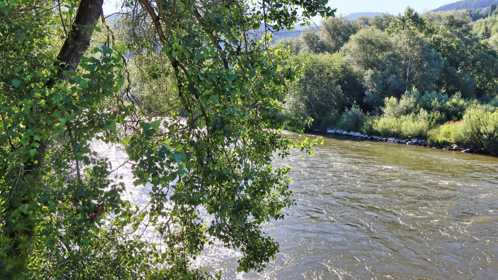
At the main square in Knittelfeld (1), 643 m, we orient ourselves by the town pharmacy and the nearby church, which we pass to get onto Esperanto Street. We keep to the right and walk in the direction of Großlobming. Continue along Stubalpenstraße out of town, past the Apfelberg fire station, until we cross the bridge over the Mur. Immediately afterwards we see the Hoffelner Inn (2), 626 m, (parking possibility) on the right side and on the left our further way, which is a gravel road. Passing the dog school, we continue on level ground for a short distance until the gravel road leads us continuously uphill through the forest. In between we pass comfortable resting places with panorama boards and a beautiful view. After we have reached the hill, we come directly to the Thalberghof (3), 803 m, a well-known excursion inn in the Murtal region. Immediately after the Thalberghof we turn right at the crossroads and walk along the road, which rises little. Passing under the high-voltage power line, we come to a rest area with a panoramic panel, before the hiking trail leads downhill after a few meters to the right over a steep slope. In between it gets a bit steeper until we pass the former site of the Apfelberg Advent Singing just before the valley floor. Immediately afterwards we reach the asphalt road and see the Hoffelner Inn (2), 626 m, in front of us again. From now on we follow our already known path.
- Highest point
- 828 m
- Endpoint
-
Knittelfeld main square / Knittelfeld train station
- Height profile
-

- Equipment
-
Backpack with rain cover Telescopic / hiking poles Mountain / hiking boots Gloves: waterproof and warming Headgear / sunglasses Outerwear: Onion layer system, T-shirt, sweater, jacket and winter jacket with hood Hiking pants Seat pad Drinking bottle / thermos flask (on cooler days a warming drink is pleasant) Snack First aid kit with blister plaster and tick tongs
Other important equipment
Route descriptionDetailed plan of the hike Hiking map: For overview a map in scale 1 : 50 000 of the respective region GPS device cell phone - Safety instructions
-
A few tips for correct and fair behavior in the forest: (Source: www.bundesforste.at - 6/2021)
Hikers should avoid visits to the forest about 1.5 hours before sunrise and after sunset, as wildlife is especially active during this time. Plastic bottles, handkerchiefs, cigarette butts & Co have no place in the forest! Please make sure that you do not leave any trash in the forest. Camping and making fire - is strictly forbidden in the forest! In principle, each person is allowed to collect 2 kg of mushrooms and berries per day for personal use in the forest. It is only forbidden if the forest owner expressly forbids it.Alpine emergency call:
Mountain rescue emergency number: 140
EU emergency number: 112
Weather service: www.zamg.ac.at
Direct link mountain weather Styria: https://www.zamg.ac.at/cms/de/wetter/produkte-und-services/bergwetter/steiermark
- Tips
-
If you want to extend this tour significantly, you can continue hiking to the Steinplan, Knittelfeld's local mountain.
- Additional information
- Directions
-
From St. Michael in Obersteiermark via Murtal Schnellstraße S36 (vignette required) to exit "Knittelfeld-Ost"; at the first traffic circle follow the signs to the train station (25 km, approx. 20 minutes).
From Judenburg via the Murtal Schnellstraße S36 (vignette required) to the exit "Knittelfeld-Ost"; continue as above. (22 km, approx. 20 minutes).
- Public transportation
- Parking
-
Parking at the train station
Hoffelner parking lot


- Author
-
The tour Apfelberg Panorama Trail starting from Knittelfeld is used by outdooractive.com provided.


General info
-
Erlebnisregion Murtal
1783
-
Steirisches Zirbenland
711
-
Knittelfeld
161