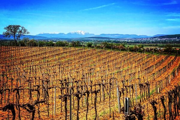
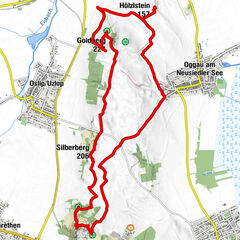
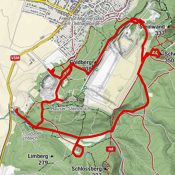
Gemeinde Mannersdorf am Leithagebirge - Goldberg - Mannersdorf am Leithagebirge - Scheiterberg

Údaje o túre
10,38km
219
- 349m
290hm
288hm
02:46h
- Obtiažnosť
-
stredná
- Trasa
-
Waldkapelle0,2 kmKaminlucke1,1 kmGoldberg (308 m)3,5 kmMannersdorf am Leithagebirge4,3 kmScheiterberg (350 m)6,2 kmWaldkapelle10,1 km
- Najvyšší bod
- 349 m
- Zdroj
- Bergfex Tour Generator
GPS Downloads


Ďalšie prehliadky v regiónoch