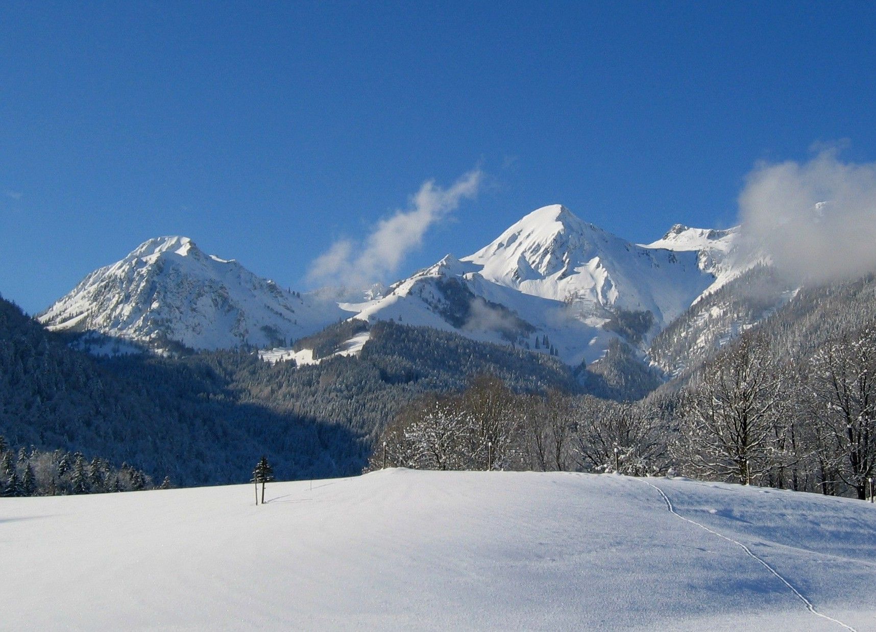
On wintry paths at the foot of the Geigelstein


On wintry paths at the foot of the Geigelstein
Tour description:
Baumgarten car park – Tiroler Achen – Ettenhausen – Schleching – Baumgarten car park
The winter hike begins at the Baumgarten car park , just outside the municipality of Schleching . Follow the path clockwise, which first leads you across snow-covered meadows and fields in the direction of the Tiroler Ache . After a few hundred meters the path turns right and continues parallel to the river. You walk along the Tiroler Ache, which flows into Lake Chiemsee , without any major climbs, and enjoy the view: on one side the snow-covered and untouched river landscape and on the other side the wintry village.
Past the district of Ettenhausen you reach the first climb of the tour in the south. After walking uphill for a while you will reach the highest point of the round trip at around 614 meters. We continue on wintry paths at the foot of the Geigelstein . Schleching with its snow-covered houses is now on your right, while the snow-covered forest stretches out to your left. After a few more smaller climbs and a total of three quarters of an hour, you return to the starting point.